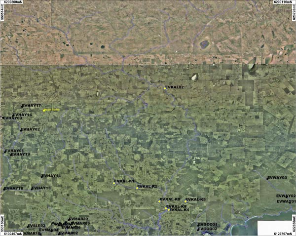
Three sites on Kalgan River, three sites on Napier Creek and two sites on Chelgiup Creek were sampled. One site on the Takenup Brook, Little Creek and Churchlane Creek were also sampled. An overview of this site is shown on the map above. Photographs are only available for the three Kalgan River sites:
| KAL01 | KAL02 | KAL03 |
No photographs are available for sites:
| KAL-K01 | KAL-K02 | KAL-K03 | KAL-K04 | KAL-K05 | KAL-K07 | KAL-K08 | KAL-K09 | KAL-K10 |
The average annual rainfall in the lower of the catchment is 1100mm while the upper of the catchment receives significantly less rainfall. The River flows all year round.
The majority of the Kalgan River catchment consists of Jarrah, Marri and Wandoo woodlands. Since European settlement approximately 66% of the catchment has been cleared for agriculture but the upper catchment has remained relatively vegetated.
The River was sampled between February 2006 and December 2007.
All sites across the catchment recorded a neutral pH.
KAL-K1, KAL-K3, KAL-K8 and KALK9 al recorded high or very high levels of turbidity. KAL-K2 recorded moderate levels of turbidity and all other sites recorded low levels.
Only the Kalgan River was sampled for nutrients. KAL01 and KAL02 recorded low levels of total phosphorus and moderate levels of total nitrogen, while KAL03 recorded high levels of both TP and TN.
